Advisors in JSI’s Immunization Center described how health service providers and communities in northern Nigeria could digitize the paper-based system they use to collect, analyze, and map immunization data for microplanning.
The World Health Organization’s Reaching Every District strategy helps strengthen and adapt routine immunization to any context. Essential to this strategy are micro plans produced through a bottom-up, people-oriented process that allows immunization programs to reach areas with poor access and/or low rates of immunization.
The WHO strategy depends on accurate population estimates and maps of location and distances between communities and health facilities. Unfortunately, in Nigeria—and in much of the developing world—accurate population estimates are hard to come by. Nigeria’s most recent census, in 2006, is outdated and current population projections are not accurate enough, making it challenging for resource allocation and decision making. JSI tested an approach that uses geographic information system (GIS) data from the polio supplementary immunization activities (SIAs) to improve the catchment area maps and micro-planning for routine immunization. JSI breaks this process into three steps:
Information-gathering and reconciliation. A group of local stakeholders advises the technical team on the map-making process. In Nigeria’s case, stakeholders came from government and implementing partners at the state level and the six local government authorities that piloted the project. Local stakeholders then identified the data needed to populate the maps, which included: location of the health center; name and location of settlements in the district; location of churches, mosques, schools, markets, and similar gathering places; location of roads, rails, and waterways; data on the location and number of children in need of immunization services; and state, district, and ward boundaries.
Data processing and geospatial analysis. The team used geographic access standards set by the government of Nigeria to draw a catchment area for a particular facility. The longest standard distance from the health facility varied by type of service: facility-based (2 km); outreach (2–5 km); and mobile (more than 5 km). The perimeter of these catchment areas was calculated using QGIS software.
Map production and validation. The team used QGIS to produce the final product. To refine and build confidence in the maps, they convened meetings with stakeholders at all levels and sectors of the health system including communities. The revised maps reflected significant improvements: removing overlapping catchment areas that made the maps difficult to read; adding color to show vaccination strategy distances; while using black-and-white symbols so the maps did not have to be reproduced in color; and using culturally relevant symbols, such as a basket instead of shopping cart, to represent a market.
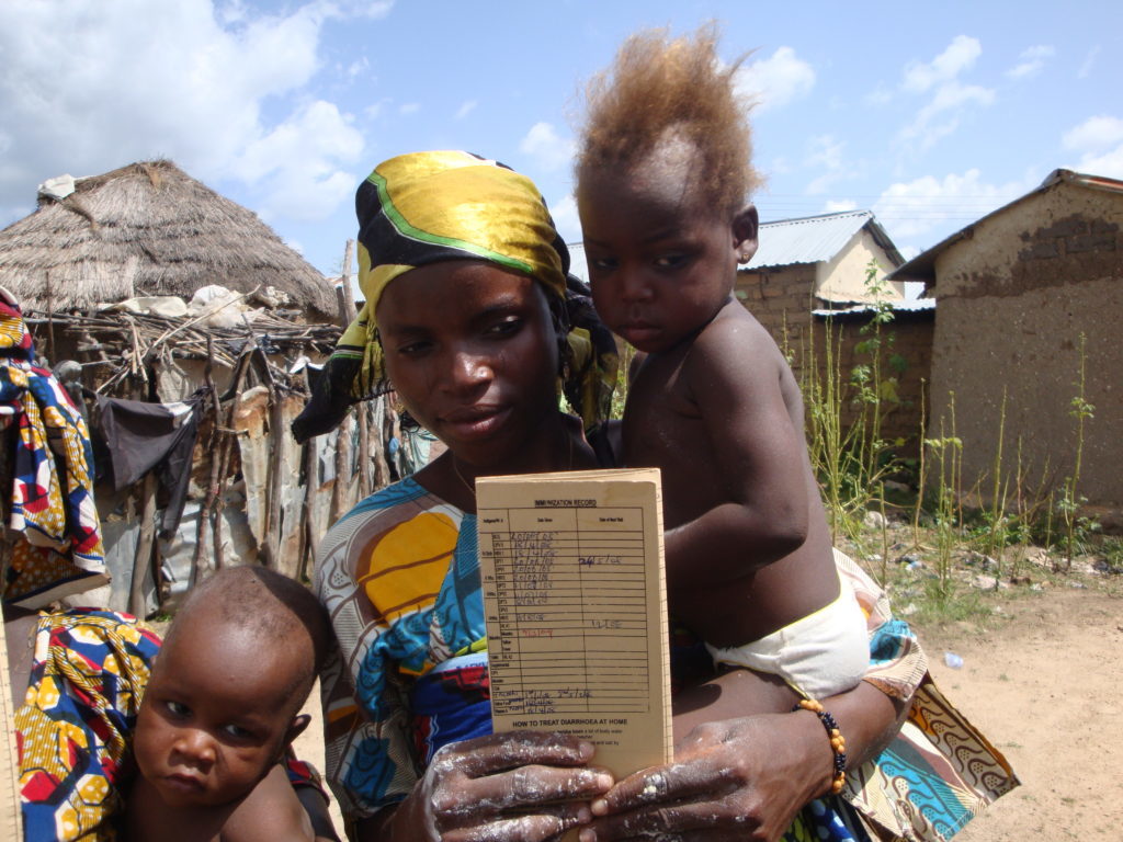
A mother holds an infant along with the child’s completed vaccination card.
Strategy scale-up efforts can draw on several lessons:
Geographic place names can be incorrect and/or inconsistent. The map-making initiative is an opportunity to correct and reconcile these names.
Population estimates did not apply to the geographic units used in the mapping software, which was based on SIAs. Further analysis is needed to reconcile these discrepancies.
Volunteer data-collection through open street maps produced inconsistent results. Donor or government funding could help establish a more regularized and reliable process.
Local stakeholder involvement was crucial for identifying instances in which the computer-generated maps and data were not useful for on-the-ground program planning.
Staff capacity at the district and national levels must be enhanced.
Local officials in Nigeria are using the maps for routine immunization planning and are setting up a process for keeping the maps up-to-date. The lessons here are valuable not only to immunization services but for primary health care planning more generally.
This website uses cookies so that we can provide you with the best user experience possible. Cookie information is stored in your browser and performs functions such as recognizing you when you return to our website and helping our team to understand which sections of the website you find most interesting and useful.
Strictly Necessary Cookies
Strictly Necessary Cookie should be enabled at all times so that we can save your preferences for cookie settings.
If you disable this cookie, we will not be able to save your preferences. This means that every time you visit this website you will need to enable or disable cookies again.